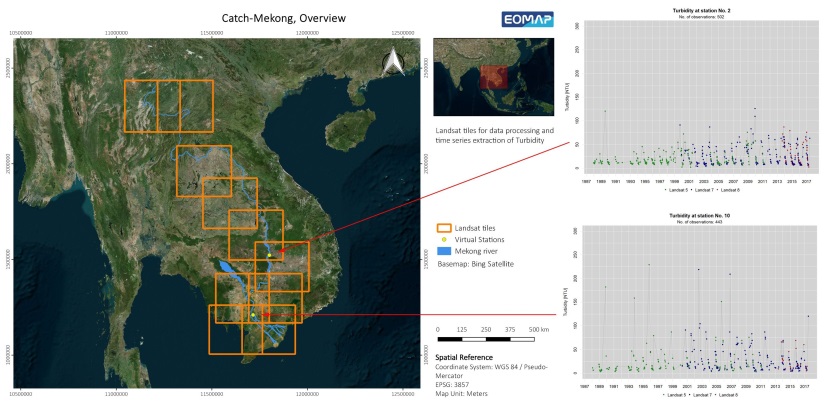
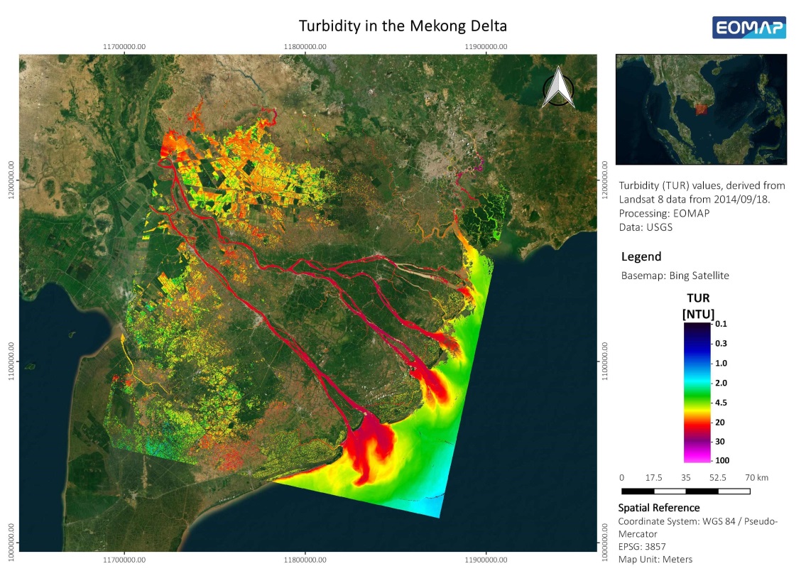
EOMAP processed all available satellite imagery from the Landsat archive for the whole mid- and downstream section of the Mekong River to derive time series information on water quality parameters.
Starting from 1987, time series of turbidity, which relates to Total Suspended Matter, have been extracted from the satellite records at defined points within the river. These points have been selected together with the partners from the German Research Center for Geoscience GFZ and have already been handed over to serve as calibration data for further hydrological modelling.
Two exemplary time series at selected stations are shown below.

